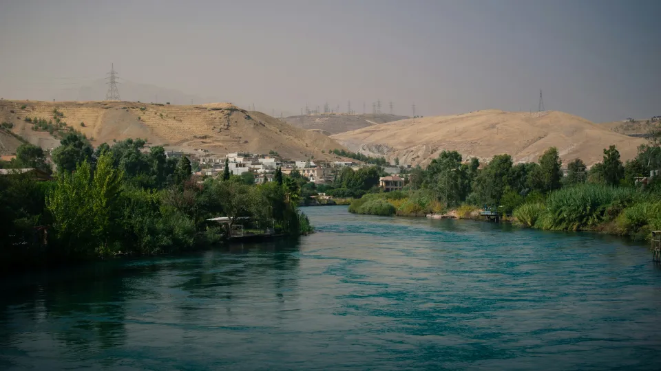
The Middle East faces a critical water crisis exacerbated by climate change-induced aridity, unsustainable overexploitation, weak governance, and the weaponization of water in conflicts. Rising temperatures and prolonged droughts diminish surface water, while excessive groundwater pumping depletes aquifers, causing land subsidence and socio-economic impacts like food insecurity and migration. Traditional monitoring methods are insufficient, particularly in conflict zones with fragmented data.
This project, addresses these challenges using advanced satellite remote sensing and AI. It integrates Interferometric Synthetic Aperture Radar (InSAR) data, which detects ground deformation as a proxy for groundwater changes, with radar altimetry data tracking surface water variations. AI models analyze complex surface water-groundwater feedback loops, simulate future scarcity under climate, land use, and conflict scenarios, and identify conflict impacts on water resources depletion and recovery.
Crucially, the project views water as a Common Pool Resource and analyzes how state and non-state actors manage water resources before, during, and after conflict, assessing conflict impacts, identifying adaptation strategies, and studying water's role in conflict and post-conflict recovery under conditions of fragile governance.
Focusing on conflict zones (Syria and Iraq) and poor governance regions (Iran), the project reconstructs hydrological baselines and quantifies conflict-driven impacts. Findings inform a web-based Decision Support System (DSS), providing data-driven strategies for resilient water management, supporting policy formulation, and aiding water diplomacy in this data-poor, contested region.
Research Team
Hossein Hashemi, Water Resources Engineering Department (WRE)
Amir Naghibi, Water Resources Engineering Department (WRE)
Andres Palacio, Lund School of Economics and Management (LUSEM)
Alexandra Cermeno, Department of Economic History


